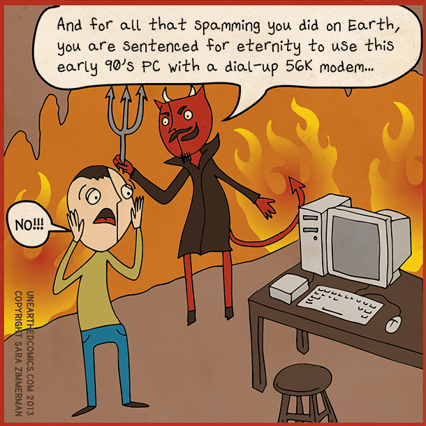
Geotagged Twitter tweets used to generate maps of cities

twitter project

Back in May 2013 Twitter started a mini project looking to create a heatmap of all the world’s geotagged tweets. The maps show every single tweet as a dot, which in aggregate generate whole maps. It’s usefulness is yet to be realized as the folks from Twitter themselves have not officially put any official announcement about this. But right now, if you visit the project’s site, it can be used as a tool for viewing tweet volume in various cities as cool-looking topographical maps.

The map represents the highest volume of tweets by peaks while the lowest volume by valleys in a topographical map. As mentioned, every tweet is represented by dot, while the color represents Tweet count.

Right now, you can view various maps representing Tweets such as heat, fill, watermark, clear, contour, terrain, grid and dark. Selecting each one of this type of maps will give you different perspectives of the Tweet volumes.

I don’t about you, but I really find the tool to be cool. It’s an interesting project for making sense of all the Tweets that we produces aside from the information contained in those Tweets. Check it out and see whether it the tool will strike you as cool or utterly useless. Hopefully, we’ll get to hear from Twitter as to the direction that this project will take.

Twitter geotagged tweets heatmap project homepage

[via GigaOM]

Related Posts