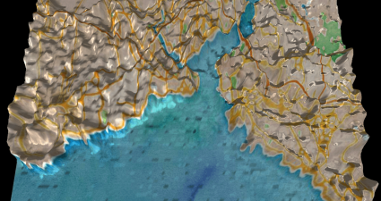
Geotagged Twitter tweets used to generate maps of cities
Back in May 2013 Twitter started a mini project looking to create a heatmap of all the world’s geotagged tweets. The maps show every single tweet as a dot, which in aggregate generate whole maps. It’s usefulness is yet...

