Email article
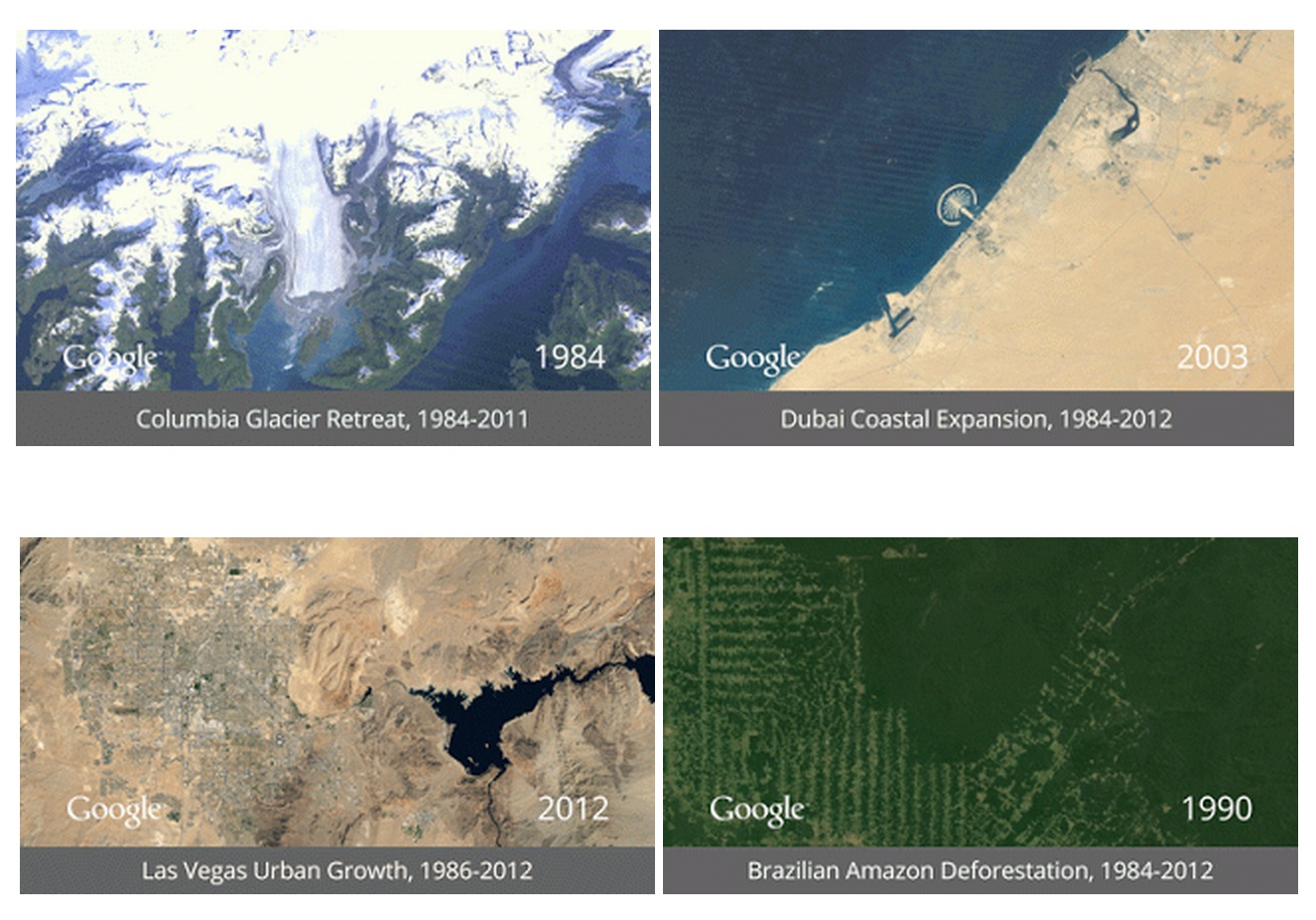
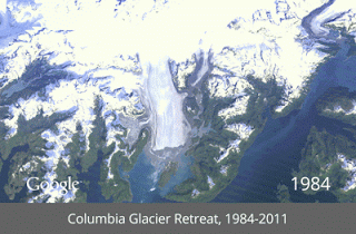
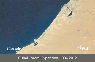
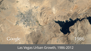
Google, with the help of the U.S. Geological Survey, NASA and TIME, have created a timelapse project that they believe is “the most comprehensive picture of our changing planet ever made available to the public.”
To make this all happen, Google began working with the USGS back in 2009. They went through 2,068,467 images to find the best images to use (basically the ones without clouds covering everything up) for every year since 1984. To put things in perspective, those pictures totaled a ridiculous 909 terabytes of data. After that, they compiled those into one image per year, at 1.78 terapixels each. Now they’re releasing a quarter-century of images made into interactive timelapses — and the results are pretty damn impressive.
To see all these timelapses in their complete decade-spanning glory, you can go here. Alternatively, you can check out some handy dandy GIFs below!

[via Google]