Email article
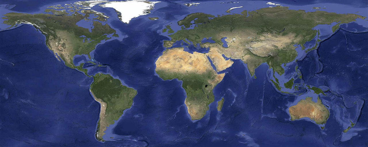
Gone are the days of exploring Google Maps in satellite view and being blocked by a pesky cloud! Google has unveiled new high-resolution imagery that will power both Google Maps and Google Earth. Besides making our beloved planet a whole lot clearer to explore virtually, they’ve also eliminated all the clouds that might have made some places hard to look at in the past.
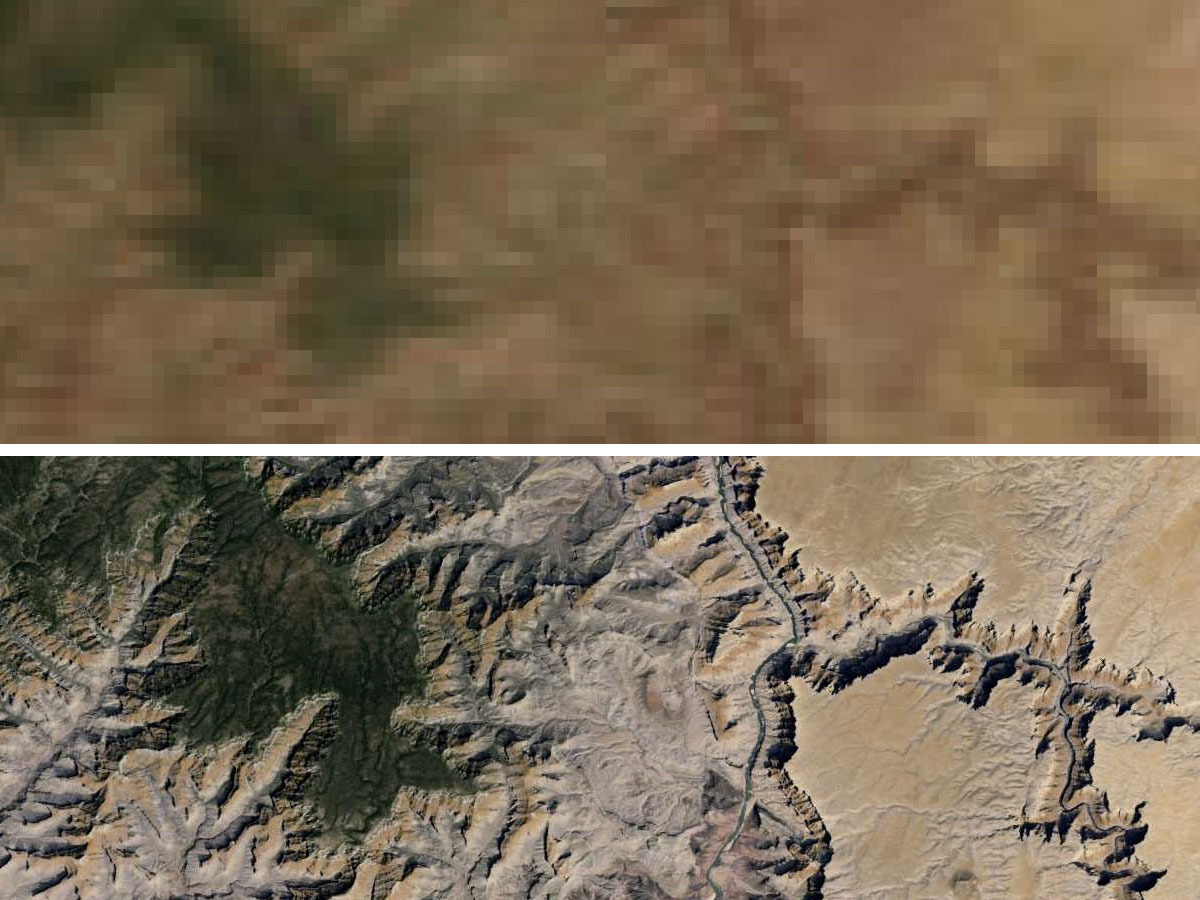
This new global image that’s being used is made up of a whopping 800,000 megapixels and comes from NASA’s Landsat 7 satellite. The team over at Google used their Google Earth Engine to mine hundreds of terabytes of data from the satellite, bringing you a much more detailed map. To give you a clear glimpse of how much better things are with these new images, take a look at this view of the Grand Canyon:
But it doesn’t end there! Google mentions that the new Landsat 8 satellite, which launched earlier this year in February, will capture even more detailed and up-to-date images. Which can only mean Google Maps should get even clearer in the future.
You can find the updated imagery right now by heading on over to Google Maps and switching on satellite view, or Google Earth and zooming out.